More Winter Weather On The Way Starting This Weekend
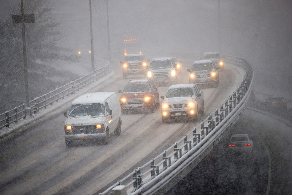
The weather so far this season has been relatively mild, but that is expected to change a bit this weekend in Central New York. The National Weather Service is predicting cold temperatures and some moderate snow accumulation starting this weekend in Upstate New York.
High Temperatures in the low 30s and overnight lows in the low 20s seems to be the norm beginning this weekend and moving forward.
Sunshine and temperatures in the upper 30s are expected on Saturday. But, "Periods of snow. High 34F. Winds ESE at 10 to 15 mph. Chance of snow 90%. 1 to 3 inches of snow expected," is the forecast for Sunday. An additional inch of snow could fall on Sunday night into Monday morning.
This week's weather looks to be cooler, yet there's very little snow in the forecast until later in the week.

The National Weather Service is calling for a potential snow event later this week on Thursday and Friday. It would be the first significant snow event of the season for much of the Mohawk Valley with the potential right now of 4 to 8 inches of snow falling between Thursday and Friday. Forecasters say they'll know more about this potential significant snow event, as we progress later into the week.
According to the National Weather Service:
Monday 34 Partly Sunny
Tuesday 31 Sunny
Wednesday 31 Partly Cloudy
Thursday 36 Snow
Friday 38 Snow
Saturday 36 Snow Showers
Sunday 33 Partly Cloudy
So far this season, temperatures have been above average with temperatures in the 40s and even 50s over the last 30 days. The average high temperature for this time of year is about 35 degrees, according to the National Weather Service.
Fox Host Failla Reaches USA from WIBX Studio in Utica
Gallery Credit: Bill Keeler
The Verdict is in, Here's the Real History of Utica Chicken Riggies
Gallery Credit: Bill Keeler
17 Amazing Vintage Utica, NY Collectables Selling Right Now on Ebay
Gallery Credit: Bill Keeler
More From 96.9 WOUR