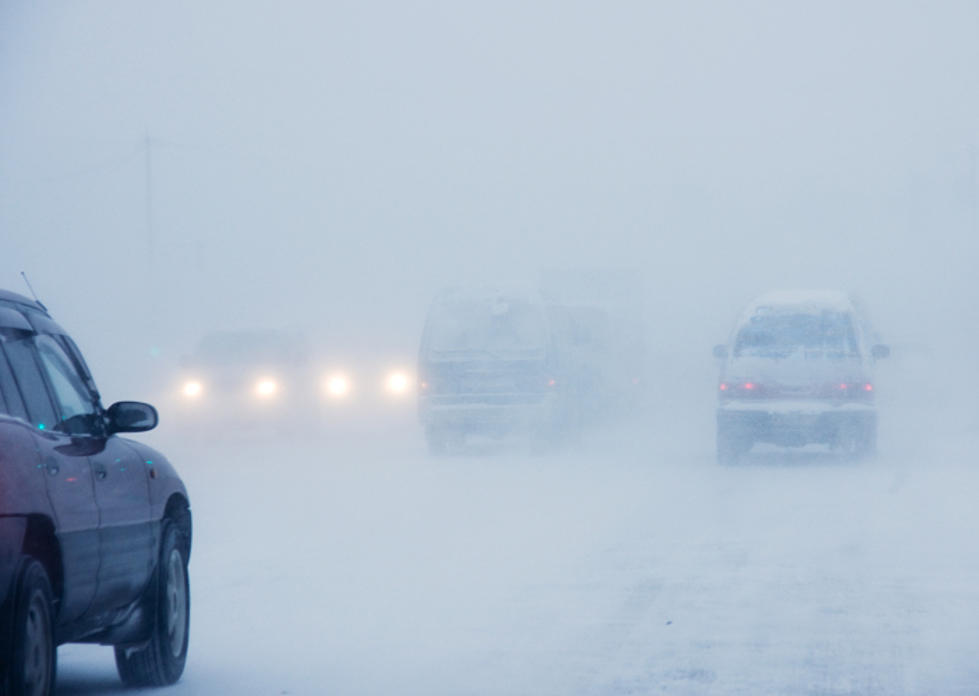
Winter Weather Advisory: Lake Effect Snow With Whiteout Conditions Expected in Utica/Rome
A Winter Weather Advisory is in effect for Northern Oneida County. Lake effect snow is expected to develop tonight and continue through Friday. Generally, 2-4 inches of snow is expected through Friday.
Lake effect snow and some snow squalls are anticipated on Friday. Any squalls that do develop will have the potential to dump a quick inch of snow and cause near-whiteout conditions.
The National Weather Service out of Binghamton says:
an Alberta clipper ( A fast-moving low-pressure system that moves southeast out of the Canadian Province of Alberta (southwest Canada) through the Plains, Midwest, and Great Lakes region usually during the winter. This low-pressure area is usually accompanied by light snow, strong winds, and colder temperatures) will bring snow showers to Upstate NY by this evening, with lake effect snow developing and lasting through Saturday. This storm system will usher chilly temperatures into our region through the weekend.
Fluctuating bands of lake effect snow will extend into Northern Oneida County, bringing
3 to 7 inches of snow, with the highest totals over the northwestern corner of the county. The heaviest lake effect snow will be this evening into Friday.
Elsewhere, scattered snow shower activity will bring 1-2 inches of new snow to portions of the Finger Lakes and northern Susquehanna Region. Then yet another round of lake effect snow is expected Friday night into Saturday for the Finger Lakes Region.
Extended NWS Forecast:
Today: A chance of snow showers. Cloudy, with a high near 33. Northwest wind 7 to 9 mph becoming southwest in the afternoon. Chance of precipitation is 40%. Total daytime snow accumulation of less than a half inch possible.
Tonight: A chance of snow showers. Cloudy, with a low around 28. West wind 8 to 11 mph, with gusts as high as 22 mph. Chance of precipitation is 50%. New snow accumulation of less than one inch possible.
Friday: Snow showers likely, mainly before 2pm. Cloudy, with a high near 32. West wind 11 to 14 mph, with gusts as high as 24 mph. Chance of precipitation is 60%. New snow accumulation of less than one inch possible.
Friday Night: A chance of snow showers. Mostly cloudy, with a low around 15. West wind around 10 mph. Chance of precipitation is 40%. New snow accumulation of around an inch possible.
Saturday: A chance of snow showers, mainly before 1pm. Mostly cloudy, with a high near 19. Northwest wind 9 to 16 mph. Chance of precipitation is 30%.
Saturday Night: Partly cloudy, with a low around 3.
Sunday: Mostly sunny, with a high near 20.
Sunday Night: Mostly cloudy, with a low around 8.

KEEP READING: Get answers to 51 of the most frequently asked weather questions...
More From 96.9 WOUR