Nor’easter Will Hurt Fall Foliage In CNY
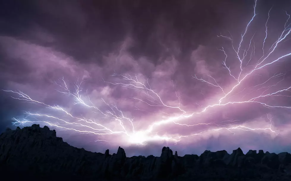
An intense nor'easter with strong winds and heavy rain will barrel through CNY starting this afternoon.
Central New York will see a steady soaking rain Wednesday afternoon through Thursday night with gusty northwesterly winds and chilly temperatures. This weather event could ruin the fall foliage.

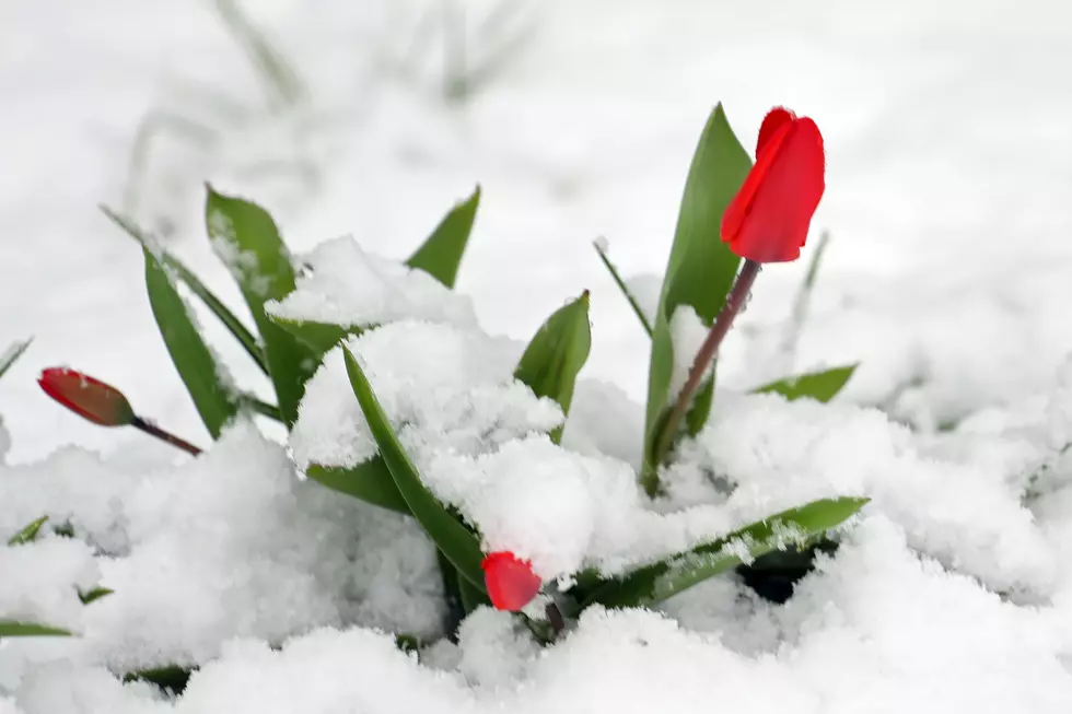
NWS says weather conditions, such as temperature and rainfall, play a significant role in the timing of the leaves changing each fall. A wet and cool summer can cause the displays of color to develop earlier than a hot and dry summer. Severe drought conditions may dampen the brightness of the foliage color, and the leaves may die early due to a lack of water. A day or two of strong winds can blow the leaves off the trees quickly.
Strong 40 mph wind gusts are a concern as tonights nor'easter moves in. Combine that with steady rain, and we have a perfect recipe for stripping the leaves off the trees in record time.
The National Weather Service out of Binghamton has issued a Hazardous Weather Outlook for most of the area.
A strong cold front will move through the area Wednesday afternoon through the evening, with a solid batch of rain and a slight chance of thunder. Rain totals through Wednesday night are forecast to range from 1 to 2 inches, mainly east of Interstate 81 and heaviest towards the Poconos and Catskills. This may cause minor problems in poor drainage areas and also possible localized street flooding where leaves are clogging drains.

The highest rain totals of 2-3+ inches are forecast be from Rome to Oneonta, Delhi, Monticello and Honesdale.
More From 96.9 WOUR