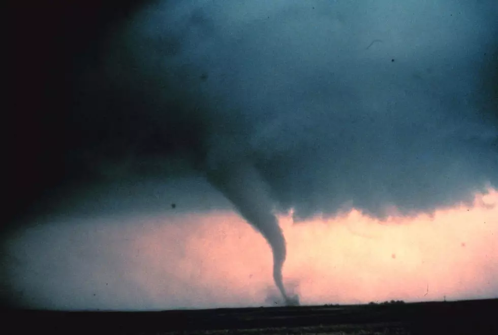
CNY At Risk For Severe T-Storms With Strong Downbursts
The National Weather Service out of Binghamton (NWS) is concerned about gusty winds and heavy rainfall especially as we head into Wednesday.
We will feel the increasing humidity in CNY, creating instability and allowing for scattered thunderstorms to develop today, especially this afternoon through early evening. Storms could contain gusty winds and downpours. Those under storm cores could see localized downbursts strong enough to impact small branches and powerlines.
Wednesday and Thursday will also be unsettled with more showers and storms, but a drier pattern will take shape towards the weekend.
This Hazardous Weather Outlook is for central New York
DAY ONE...Today and tonight.
Scattered thunderstorms are expected to develop this afternoon to early evening. A few of the storms could contain gusty winds.
.DAYS TWO THROUGH SEVEN...Wednesday through Monday.
Thunderstorms are likely Wednesday, especially in the afternoon through evening. The strongest storms could contain both damaging winds and locally heavy rainfall.
Extended NWS Forcast:
Today: A chance of showers and thunderstorms, mainly after 3pm. Increasing clouds, with a high near 84. South wind around 7 mph. Chance of precipitation is 30%. New rainfall amounts between a tenth and quarter of an inch, except higher amounts possible in thunderstorms.
Tonight: Showers and thunderstorms likely, mainly before 8pm. Mostly cloudy, with a low around 66. Southwest wind around 5 mph becoming calm in the evening. Chance of precipitation is 60%. New rainfall amounts between a tenth and quarter of an inch, except higher amounts possible in thunderstorms.
Wednesday: Showers and thunderstorms likely, mainly after 3pm. Some of the storms could produce gusty winds and heavy rain. Mostly cloudy, with a high near 81. South wind 3 to 7 mph. Chance of precipitation is 60%. New rainfall amounts between a quarter and half of an inch possible.
Wednesday Night: Showers and thunderstorms before 11pm, then showers likely and possibly a thunderstorm between 11pm and 2am, then a chance of showers and thunderstorms after 2am. Low around 64. South wind 3 to 5 mph. Chance of precipitation is 80%. New rainfall amounts between a quarter and half of an inch possible.
Thursday: A chance of showers and thunderstorms, then showers likely and possibly a thunderstorm after 2pm. Partly sunny, with a high near 83. West wind 5 to 9 mph. Chance of precipitation is 60%.
Thursday Night: Showers likely and possibly a thunderstorm before 8pm, then a chance of showers and thunderstorms between 8pm and 2am, then a slight chance of showers after 2am. Mostly cloudy, with a low around 60. Chance of precipitation is 60%.
Get up to information on power outages throughout Central New York; where it’s out and when it’ll be restored with National Grid’s Power Outage Map.
National Grid also offers text alerts on the latest efforts to restore power.
To receive free text message alerts and updates, text the word STORM to NGRID (64743). E-mail alerts are available to customers who create an online profile on the company’s website. All alert services can be started and stopped at the customer’s request.
You can even report power outages or get the latest information at the National Grid’s website.
Power Outage Preparation:
*Keep your cell phone charged and make sure you know where your backup power supply is.
*Make sure all your flashlights have fresh batteries.
*Fill your gas tank. You can use your car to keep warm and recharge devices.
*Have some food available that you don’t need to cook.
* Download The Eagle App. You’ll receive local alerts, weather reports and more with push notification.
More From 96.9 WOUR