Winter Returns to Central New York with Snow Expected This Weekend
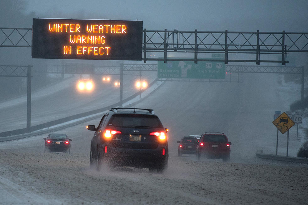
The National Weather Service has issued a Winter Storm Watch for Northern Oneida County, and a Hazardous Weather Outlook for the rest of Central New York as a storm system moves into the region.
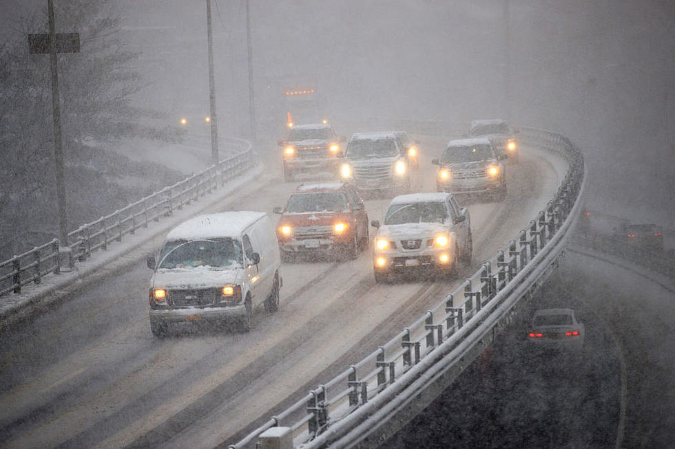
While most of Central New York experienced unseasonably warm temperatures just last week, winter is back with bitterly cold temps Friday morning and Saturday, and snow returning to the region this weekend.
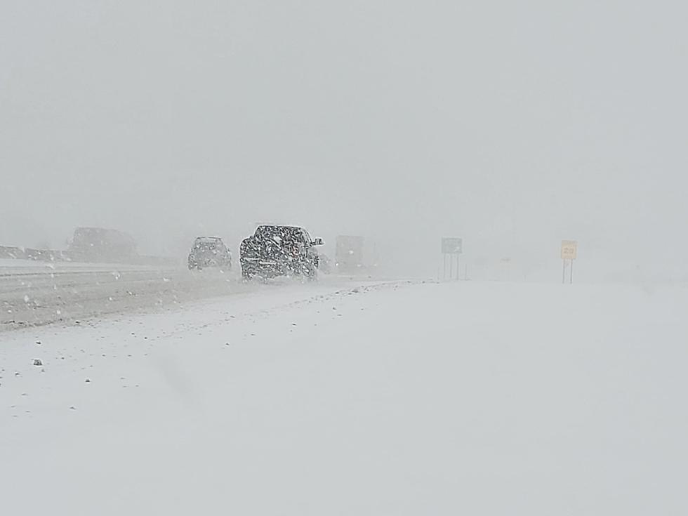
Forecasters from the National Weather Service say lake effect snow will impact our area, especially in Northern Oneida County, on Saturday and Sunday. Total accumulations could range from 6" up to 18" in Northern Oneida County. The forecast still has significant uncertainty.
Snow should begin in Oneida County between 12pm and 2pm on Saturday, and wrap up by Sunday evening.
According to the National Weather Service:
- A widespread moderate snowfall is expected area-wide Saturday and Saturday night.
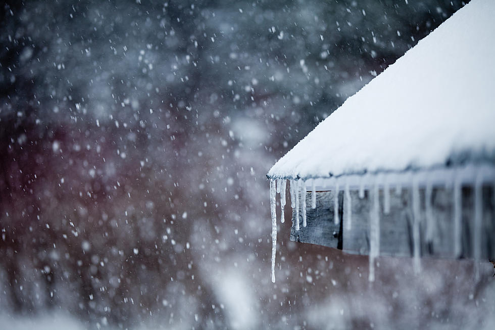
- The snow may mix with and change to freezing rain/freezing drizzle Saturday evening, mainly over the Finger Lakes.
- There still is uncertainty as to how much snow falls and where the heaviest snow occurs.
- Travel could become difficult across our area.

More From 96.9 WOUR