Will The Arterial Flood Again With Upcoming T-Storms In CNY?
The National Weather Service (NWS) out of Binghamton is warning of strong to severe thunderstorms with possible prolonged downpours. Are we in for more flooding?
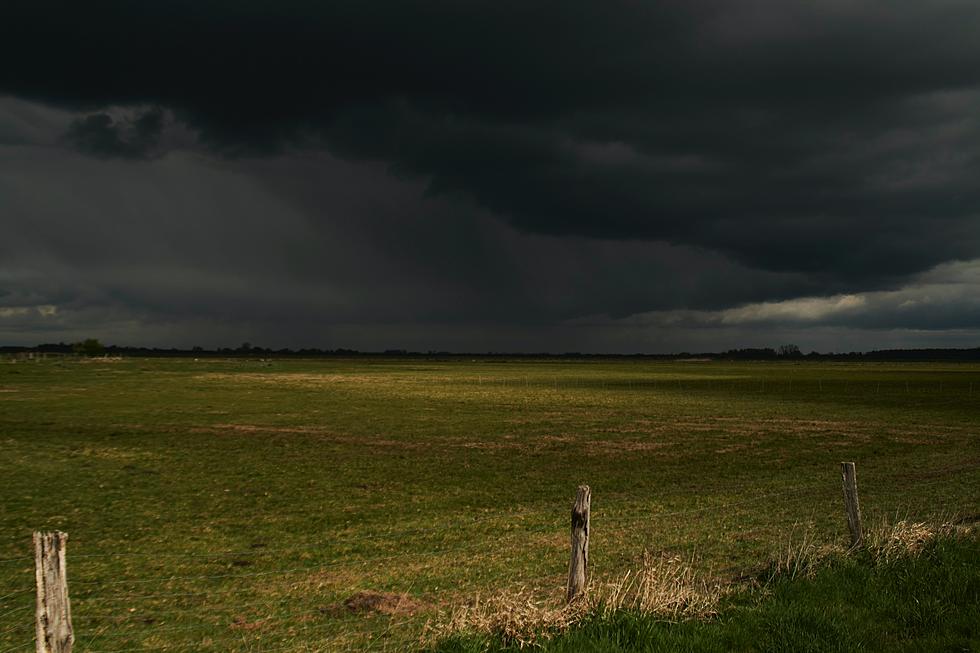
A Hazardous Weather Outlook from the National Weather Service says: Clusters of thunderstorms are expected to cross the area Wednesday. Some storms may be strong to severe with damaging winds and locally heavy rainfall, especially in the afternoon to early evening.
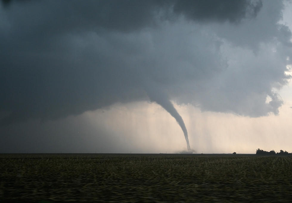
The main concern is for the potential of strong to severe thunderstorms Wednesday, which may also include locally heavy rainfall...Wednesday appears to be an active yet complicated day...there will be multiple waves moving through the region.. after morning showers and embedded thunder, the environment will indeed become more supportive of strong to severe cells in the afternoon with damaging winds, some hail, and perhaps even rotation/a few supercells for an isolated tornado threat. There could also be localized urban and small stream flooding issues where cell interactions and overlaps prolong downpours. [NWS]
Extended Forcast:
Today: Sunny, with a high near 82. Light west wind.
Tonight: A slight chance of showers between 2am and 5am, then a slight chance of showers and thunderstorms after 5am. Increasing clouds, with a low around 64. Light southeast wind. Chance of precipitation is 20%.
Wednesday: Showers and thunderstorms likely, mainly after 4pm. Some of the storms could produce gusty winds and heavy rain. Mostly cloudy, with a high near 84. South wind 3 to 8 mph. Chance of precipitation is 60%. New rainfall amounts between a half and three-quarters of an inch possible.
Wednesday Night: Showers and thunderstorms likely before 8pm, then showers likely and possibly a thunderstorm between 8pm and 10pm, then a chance of showers and thunderstorms after 10pm. Mostly cloudy, with a low around 65. South wind 3 to 6 mph. Chance of precipitation is 60%. New rainfall amounts between a tenth and quarter of an inch, except higher amounts possible in thunderstorms.
Thursday: A chance of showers and thunderstorms between 11am and 2pm, then a slight chance of showers. Partly sunny, with a high near 78. West wind 7 to 13 mph. Chance of precipitation is 30%.
Get up to information on power outages throughout Central New York; where it’s out and when it’ll be restored with National Grid’s Power Outage Map.
National Grid also offers text alerts on the latest efforts to restore power.
To receive free text message alerts and updates, text the word STORM to NGRID (64743). E-mail alerts are available to customers who create an online profile on the company’s website. All alert services can be started and stopped at the customer’s request.
You can even report power outages or get the latest information at the National Grid’s website.
Power Outage Preparation:
*Keep your cell phone charged and make sure you know where your backup power supply is.
*Make sure all your flashlights have fresh batteries.
*Fill your gas tank. You can use your car to keep warm and recharge devices.
*Have some food available that you don’t need to cook.
* Download The Eagle App. You’ll receive local alerts, weather reports and more with push notification.
More From 96.9 WOUR