Oh S-NO-W: Hazardous Winter Weather On The Way for Mohawk Valley
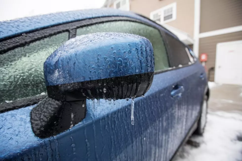
Well, here's some good news: we're in January and it feels and looks like what is normal for our area. That's not changing anytime soon. A winter storm is expected to bring snowfall for the Mohawk Valley on Tuesday.
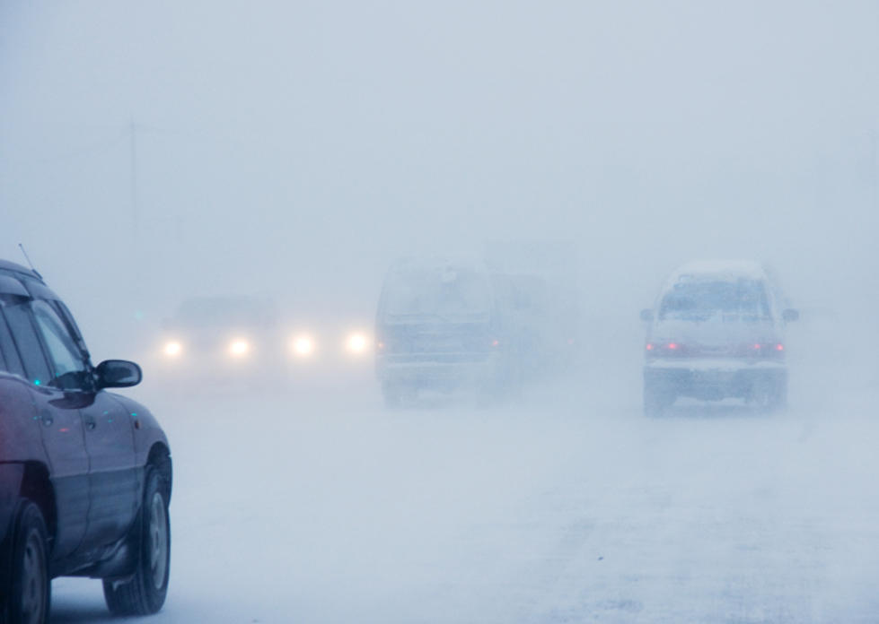
According to the National Weather Service, hazardous weather is expected Tuesday afternoon with enough snow possible to impact travel. You'll start seeing the snow around two on Tuesday, with new snow accumulations of around two inches expected during the day.

TIMING
- Snow will spread past the NY/PA border before sunrise Tuesday.
- Freezing rain could mix with the snow by mid-morning Tuesday
HAZARDS & IMPACTS
- Snow accumulations of 3 to 5 inches across the northeastern forecast
area. - 1 to 3 inches of snow plus patchy freezing rain over the southern half of
the forecast area. - Untreated roads/surfaces will likely become snow covered and slippery
NWS ALERTS
- None issued at this time for Central NY or Northeast PA.
FORECAST CHALLENGES
- The northward extent of freezing rain will greatly impact snow totals.
ADDITIONAL INFORMATION
- Snow and freezing rain may impact the morning and afternoon commutes.

HOW MUCH SNOW SHOULD WE EXPECT?
According to the National Weather Service, parts of the Mohawk Valley could see accumulations of 4-6 inches during Tuesday's winter storm.
Utica is expected 5 inches. Rome, 5 inches. Herkimer is expected between 4 and 6 inches. Boonville can expect 5 inches. Hamilton can expect 4 inches. The Syracuse area will see around 4 inches as well.
WEEKLY FORECAST:
MONDAY: Mostly sunny, with a high near 27. West wind 3 to 5 mph.
MONDAY NIGHT: Mostly cloudy, with a low around 17. Calm wind becoming east around 5 mph after midnight.
TUESDAY: Snow, mainly after 11am. High near 27. East wind 6 to 11 mph. Chance of precipitation is 80%. New snow accumulation of around 2 inches.
TUESDAY NIGHT: Snow likely, mainly before 1am. Mostly cloudy, with a low around 18. East wind 5 to 9 mph becoming calm after midnight. Chance of precipitation is 70%. New snow accumulation of around 2 inches.
WEDNESDAY: A chance of snow before 1pm. Partly sunny, with a high near 26. Calm wind becoming west around 5 mph in the afternoon. Chance of precipitation is 30%.
TIPS: Here's how you can prepare for power outages
More From 96.9 WOUR