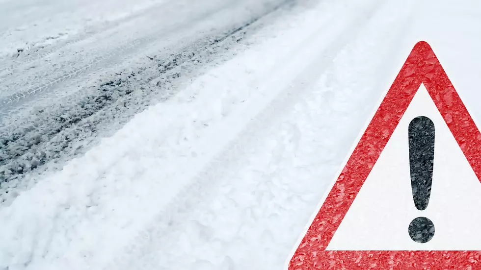
In New York State, it's against the law to leave your pets unprotected in life-threatening weather conditions such as dangerously low wind chills and frigid temperatures.
A dangerously cold and blustery Arctic air mass will remain over central New York throughout the weekend, bringing the coldest temperatures and wind chills this season.
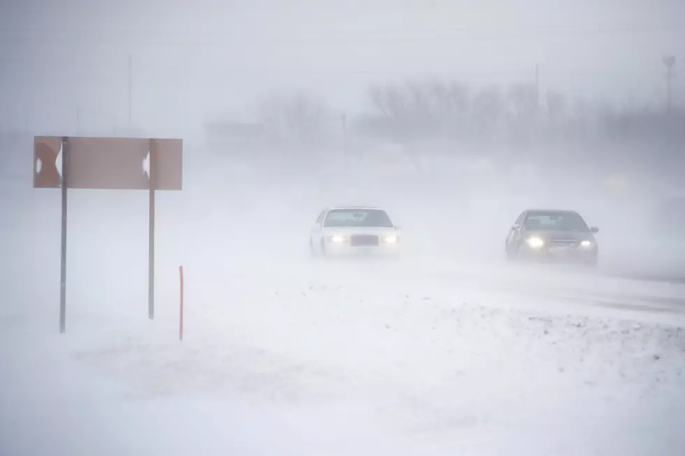
Low pressure moves into CNY early Tuesday morning, bringing a chance for accumulating snow and a wintry mix through Tuesday night. Measurable snowfall is expected with accumulations of 4-6".
A Winter Weather Advisory is in effect for Northern Oneida County. Lake effect snow is expected to develop tonight and continue through Friday. Generally, 2-4 inches of snow is expected through Friday.
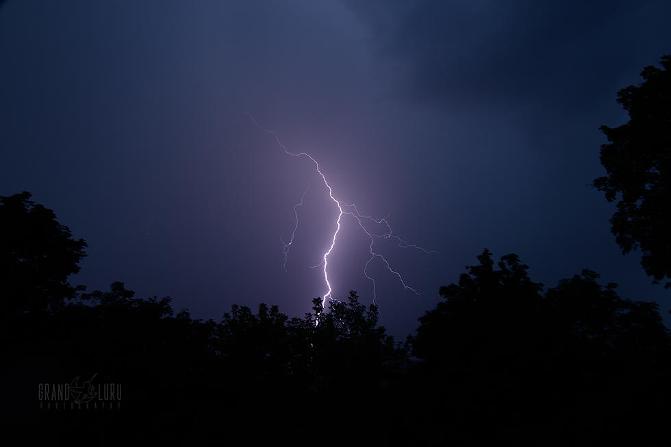
A warm front will cause some showers and a chance of thunderstorms to develop tonight. Tomorrow we could see a few tornadoes with 70 MPH winds in Central New York.
A cold front moving through central New York tomorrow, 8/25/20, could bring severe thunderstorms and damaging winds late morning through mid-afternoon.
It feels like this summer has been warmer than the average summer here in the Mohawk Valley. It also seems like we've had an abnormally high number of 90 degree days this year, and we're only just coming up on mid-August. There's still plenty of summer left.