Complex Winter Storm Hitting Central New York With Snow, Sleet & Freezing Rain
The evening and morning commute could be a slippery one in Central New York. Snow, sleet, and freezing rain are expected to create a sloppy mess.
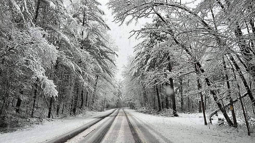
The National Weather Service has issued a Winter Weather Advisory in Oneida County from 1 PM Wednesday, February 22 to 10 AM Thursday, February 23 for a 'complex' storm. Mixed precipitation is expected in Utica, Rome, and Boonville areas.
The storm will start with snow, which could be heavy at times during the evening commute. It'll change over to fleet and freezing rain after 11 PM. The icy weather will continue into Thursday, affecting the morning commute.
Snow & Ice Accumulations
Anywhere from 3 to 6 inches of snow is expected and enough ice to cause possible power outages and downed tree limbs.
A temperature difference of only 1 to 3 degrees will have large implications on precipitation types and amounts.
If your power goes out you can report it and see when it'll be restored at NationalGridus.com.
Long Range CNY Forecast
Wednesday: A chance of snow showers before 4 PM, then snow showers likely, possibly mixed with rain. Cloudy, with a high near 34.
Wednesday Night: Snow showers and sleet, possibly mixed with rain showers before 10 PM, then rain showers and freezing rain, possibly mixed with snow showers between 10 PM and 1 AM, then rain showers after 1 AM. Low around 32.
Thursday: Showers likely, mainly before 1 PM. Cloudy, with a high near 40.
Thursday Night: A chance of rain showers before 1 AM, then rain and snow showers likely between 1 AM and 4 AM, then snow showers likely after 4 AM. Mostly cloudy, with a low around 17.
Friday: A chance of snow showers. Patchy blowing snow after 4 PM. Mostly cloudy, with a high near 20.
Friday Night: Mostly cloudy, with a low around 3.
Saturday: A chance of snow showers after 1 PM. Mostly cloudy, with a high near 25.
Sunday: A chance of snow showers. Mostly cloudy, with a high near 33.
Monday: A chance of rain and snow showers. Mostly cloudy, with a high near 38.
Tuesday: Rain and snow showers are likely. Cloudy, with a high near 38.